


Mt. Tongva can be approached from all 4 elevations, but the southern one is by far the shortest and the steepest. It is akin to climbing an industrial staircase and if you are able to run, it is going to take you about a half an hour to reach the summit even thought the actual distance is not too great. In contrast, the South Beaudry Fire Road is five miles from the top to the trash dump in Brand Park. Some people may consider this more of a scramble than a hike, but I have been accustomed to running up and down. It took me a couple of years to work my way up to the fitness level necessary to run this little trail.
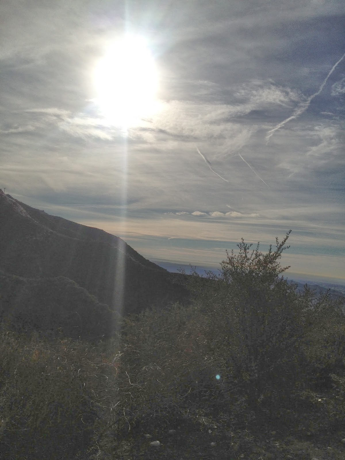
As for the scenery, you are going to get a pretty good view of Glendale and the North end of Griffith Park as well as the Verdugos. The entire area is exceptionally dry and the only other thing you will encounter on the trail is vegetation and scenery. Very few people take this route, and instead opt for the much easier fire roads and the Eastern approach which is steep, but not nearly as steep as the West ridge leading up the South side of Tongva.
When you arrive at the top, there is a radio tower and views of the San Gabriels and sometimes a glimpse of the Three Saints when the air quality is decent. You are going to enjoy this workout, as it will strengthen your legs, core, and mind. To reach the trailhead, go up the paved road past the Doctor's House and when you get to the fork in the road, keep going up past the dump and up to the little trail that leads up to the area with the dozen large pine trees and benches. Before you get to the switchbacks leading up to that area, there is a steep embankment to the left with a narrow dirt path leading straight up. It is steadily steep almost the entire way up. When you are almost at the top, keep to the left. Enjoy.