


 You can turn your life around on this trail. You can turn your un-healthy body into a toned, well oiled machine in about a year's time. It only requires that you do this hike five to seven days a week and some modification of your diet. Almost anyone can do it. My wife and I are living proof. Since 4/11, we have lost a total of 60 pounds between us by following this simple program. We had some major motivation to begin after my wife had a tumor removed from her abdomen 1/11 which we attributed to our unhealthy lifestyle.
In the beginning, I felt like I was about to die by the time I got up the first hill. By the time I got to the observatory, my body was stinging, and my lungs were heaving up mucus. I had to hit the albuterol inhaler to continue, as sweat poured from my body. By week three, I was feeling better. It helped that I stopped eating most dairy, meat, narcotic painkillers, and processed foods. I also stopped drinking alcohol and began to curtail the large amount of marijuana that I had been smoking on a daily basis for the last fifteen years. I switched to edibles and vastly increased my lung capacity and my capacity to do this hike. Fast.
I have found that the feeling I get from regular exercise has solved 85% of my problems. I am only sorry that it took me 45 years to figure it out. Your results may vary, but not by much I suspect.
Eventually, I started to seek out other places to hike. I re-discovered all of these wonderful places from my childhood such as Will Rogers, Topanga, Brand Park, Baldy, and San Gorgonio. My brother Paul convinced me to run down the hill on the Sam Merrill Trail in Altadena 2/12. I ran down every hill I hiked up thereafter and then started to run up. I am now running about 60 miles a week and sometimes many more. If you would have told me I would have been trail running 3 years ago, I would have taken another sip of beer and laughed my ass off. Since I began, I have gone out rain or shine, and have missed less than a dozen days. I have missed work more that I ever had in the past because the shittiest day hiking is better than the best day working.
I notice several ads for fitness centers this January, and can say with a great deal of happiness that these places have nothing on this beautiful hike. Taking one or two hours to run on this trail will make the other 22 hours in your day run much more smoothly. I can't promise that you will get the same results, but face it, you have nothing to lose by trying. And you can't beat the price.
You can turn your life around on this trail. You can turn your un-healthy body into a toned, well oiled machine in about a year's time. It only requires that you do this hike five to seven days a week and some modification of your diet. Almost anyone can do it. My wife and I are living proof. Since 4/11, we have lost a total of 60 pounds between us by following this simple program. We had some major motivation to begin after my wife had a tumor removed from her abdomen 1/11 which we attributed to our unhealthy lifestyle.
In the beginning, I felt like I was about to die by the time I got up the first hill. By the time I got to the observatory, my body was stinging, and my lungs were heaving up mucus. I had to hit the albuterol inhaler to continue, as sweat poured from my body. By week three, I was feeling better. It helped that I stopped eating most dairy, meat, narcotic painkillers, and processed foods. I also stopped drinking alcohol and began to curtail the large amount of marijuana that I had been smoking on a daily basis for the last fifteen years. I switched to edibles and vastly increased my lung capacity and my capacity to do this hike. Fast.
I have found that the feeling I get from regular exercise has solved 85% of my problems. I am only sorry that it took me 45 years to figure it out. Your results may vary, but not by much I suspect.
Eventually, I started to seek out other places to hike. I re-discovered all of these wonderful places from my childhood such as Will Rogers, Topanga, Brand Park, Baldy, and San Gorgonio. My brother Paul convinced me to run down the hill on the Sam Merrill Trail in Altadena 2/12. I ran down every hill I hiked up thereafter and then started to run up. I am now running about 60 miles a week and sometimes many more. If you would have told me I would have been trail running 3 years ago, I would have taken another sip of beer and laughed my ass off. Since I began, I have gone out rain or shine, and have missed less than a dozen days. I have missed work more that I ever had in the past because the shittiest day hiking is better than the best day working.
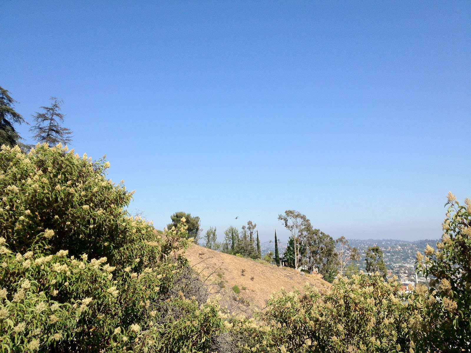
I notice several ads for fitness centers this January, and can say with a great deal of happiness that these places have nothing on this beautiful hike. Taking one or two hours to run on this trail will make the other 22 hours in your day run much more smoothly. I can't promise that you will get the same results, but face it, you have nothing to lose by trying. And you can't beat the price.


 ou are almost guaranteed a rattlesnake sighting if you go to the right places. Deer abound in the park and are not the slightest bit timid.
The chaparral, oaks, wildflowers and other native plants are subtly beautiful during all four seasons. I like Winter the best, because this Park gets pretty hot during the Summer and if you are running long distances, the heat will surely sap your endurance.
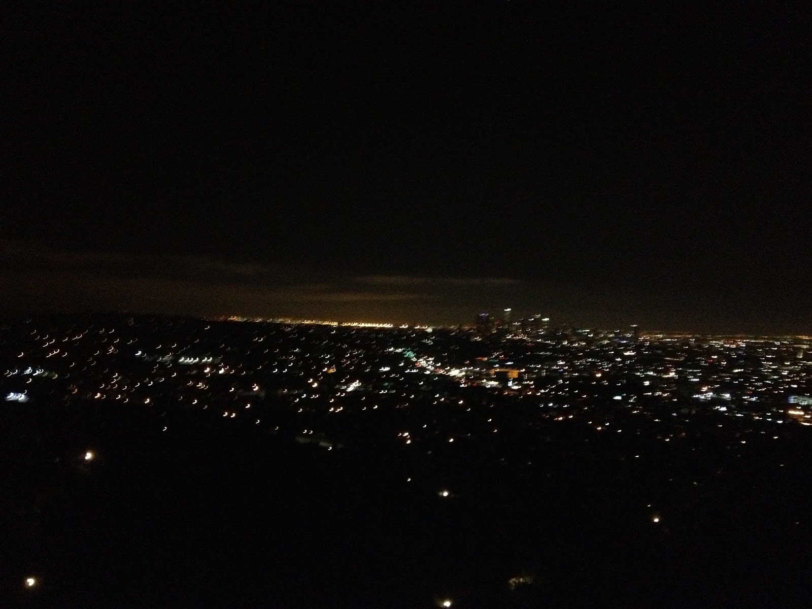
I recommend accessing Topanga State Park either through the gateway at Will Rogers via the Backbone Trail or from Topanga State Beach. In any event, I am sure you will appreciate the views of the Pacific Ocean, Catalina and Anacapa Islands, the Los Angeles Basin and Mt. San Antonio and San Gorgonio on a clear day. A true five star gem.
ou are almost guaranteed a rattlesnake sighting if you go to the right places. Deer abound in the park and are not the slightest bit timid.
The chaparral, oaks, wildflowers and other native plants are subtly beautiful during all four seasons. I like Winter the best, because this Park gets pretty hot during the Summer and if you are running long distances, the heat will surely sap your endurance.
I recommend accessing Topanga State Park either through the gateway at Will Rogers via the Backbone Trail or from Topanga State Beach. In any event, I am sure you will appreciate the views of the Pacific Ocean, Catalina and Anacapa Islands, the Los Angeles Basin and Mt. San Antonio and San Gorgonio on a clear day. A true five star gem.