Showing posts with label wildflowers. Show all posts

Wednesday, July 3, 2013

Backbone Trail Run-Topanga State Park

This morning, before the heat set in, my daughter and I set off to Topanga State Park to clock some running time in the Santa Monica Mountains. Using the gateway at Will Rogers State Historical Park, we were on the Backbone Trail in no time. Wednesday is not one of the popular days in this park and as expected, we ran into less than a dozen other people. This trail is always preferable to Griffith Park during the frequent summer heatwaves. It is at least 10 degrees cooler here than in Hollywood. The Backbone trail runs from Pacific Palisades to Point Mugu. While I have been to the park over one hundred times this year, I have never run the entire length of the Backbone Trail. It is on my short list. I saw a couple of people with dogs this morning, and while I understand that people love their dogs, and truly, for many people, their dogs are their children. I empathize with you, but it is pretty arrogant to think the rules don't apply to you. I am not the Ranger, and I loathe law enforcement, but seriously, fuck you people who go on this trail with dogs. The highlight of the trip today was a giant black raven sitting on top of a yucca plant. This guy must have tipped the scales at 3lbs. An awesome sight. The photo was taken with an I-Phone Camera at a distance of approximately 15 feet.

Tuesday, July 2, 2013

The oppressive heat is no excuse to weasel your way out of exercising!

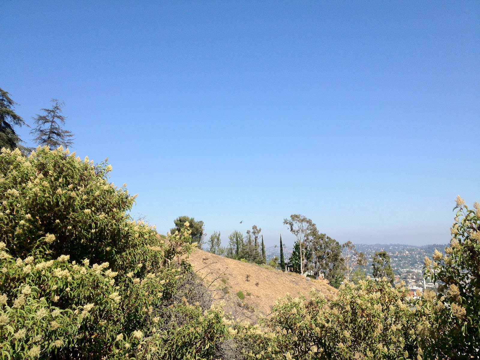
Get on the trail and stop making excuses. Drink plenty of water, and eat a couple of bananas. Take at least an additional liter of water per person. Today, I decided to tackle Griffith Park from the Western end of Ferndell. Just walk a couple of hundred yards past the kid's playground and keep to the left. There are several ways to speed this section up the best was is to just start running slowly and bear right past the sycamores to a little trail that will take you straight up the ridge and finish up at those picnic tables just below the road. Cross the street, and head up the hill and soon you will be at the bridge. Keep on going up, breathe through your nose and exhale through your mouth. Keep hydrated. Take a look at the panoramic views and the inevitable pair of raven soaring overhead.
Once you get to the top take a look around and start heading down at once Pick up the pace a little bit and scan the trail ten feet in front of you. Let gravity carry you down the hill, and do not stop. Breathe and keep hydrated. Run at 3/4 speed until you get to the picnic area. Stretch for at least 15 minutes before heading to your car. Face it, it must have taken you a couple of years to get into bad shape, and it will probably take you at least a year to start seeing good results. You have to eat whole foods also! Working out alone is not enough. It is a lot of work. If you want to keep fit, you are going to need to do this run at least five days a week pushing yourself each and every time. You can go in the morning, or in the evening, it does not matter as long as you do it. It does not get easier, ever. Park your car across Los Feliz Blvd. so you don't get a parking ticket, and so that you don't cut any corners like a cheating bastard. There is another way to get a really good workout and that is by going up the steep hill to the right of the ever popular fire road leading up to the Observatory out of Ferndell. Run up this hill if you want to work your body the fuck out and fill each and every cell in your body with rich oxygen and nutrients. When you get to the top of the first steep hill, run like hell down the slope until you can barely take it anymore. Try to make yourself run up the next hill. Then the next one. And so on. After running this trail every day, I feel like 98% of my problems have been solved. I feel great, and look 10 years younger. Trail running even makes my hair grow back in a lush and shiny manner. I suspect that you will probably get the same results. I did it, and you can, too!

Monday, July 1, 2013

Crystal Cove State Park

I have never felt welcome in Orange County. Not for one moment. OC is the birthplace of punk rock music, and there are some great Vietnamese restaurants, but I'll voluntarily stay on my side of the curtain. I do like Crystal Cove, however. One cannot wonder what this place must have looked like before someone got the bright idea to litter the landscape with a golf course and faux-talian mansion monstrosities. Fortunately this little strip of the Orange Coast and a few thousand acres of behind the beach are protected and a great campground with million dollar sunset views is available to the general public. There are sites with all of the amenities (showers, water, tables) down by the beach, and a couple of dozen sites with fewer features if you are willing to hike 3 to four miles into the backcountry with all of your gear, water and food. There will be nobody camping in the backcountry, so if you are looking for solitary experience you are going to find it here at this time of the year at night (during the day the trails are swarming with people). Several trails go into the backcountry and if you decide to walk along the park boundaries it is about 11 miles. It took us a little over two hours to make the loop, and was stunning. It is not really a trail, it is more like a fire road. It is evident that they maintain this place very well. There is a lot of costal sage, and oaks at the bottom of the canyon. Red tailed hawks, turkey vultures, robins, and beautiful black ravens are abundant in the park. This time of the year, the canyons were green and lush and there were plenty of wildflowers. The rodent population seemed pretty healthy as well. You cannot access the beach from the campground. It requires a short walk up PCH. There are no campfires or bbqs allowed anywhere in the park. A Trader Joes is located less than a mile away and there are plenty of dining options in the area. This park is one of Orange County's crown jewels.

Mt. Lowe

Before the Station Fire, Mt. Lowe was one of the most beautiful areas in the local mountains. Those were the days. It was like a little corner of the Sierras about a half hour from Downtown Los Angeles. There are a number of trails leading to the top of Mt. Lowe. If you are interested in the scenic route, begin at the Cobb Estate/Lower Sam Merrill, continue on the Castle Canyon trail to Inspiration Point, then to the Campground and finally the summit. In the alternative, go up Angeles Crest Highway, turn right on Mt. Wilson Road and park your car at Mt. Lowe Saddle 2.1 miles up. This is the way to go if you are not an avid hiker or are with small children. From the saddle, walk through the beautiful CCC Era Stone Tunnel and take the East Trail to the Mt. Lowe summit. It is a suitable trail for children and dogs are permitted. The area used to be home to some nice oaks but since they burned, a bunch of Poodle Dog Brush and chaparral have popped up. The rock formations with the burned trees sticking out and the backdrop of the blue sky and the green meadow below are sublime. Wildflowers with beautiful shades of red are abundant at this time of the year. From the top of Mt. Lowe, there are some nice views of the Los Angeles Basin and Mt. San Antonio and San Gorgonio to the east. You will probably see Raven or Red-Tailed Hawk.